
If you like what I am doing please click here to donate to my chosen charity.
Total Distance: 7 Miles
Highest Point: 685 Feet
Total Realistic Time: ~4 Hours
“Housesteads Roman Fort is the remains of an auxiliary fort on Hadrian’s Wall. Its ruins are at Housesteads in the civil parish of Bardon Mill in Northumberland, England, south of Broomlee Lough. The fort was built in stone around AD 124, soon after the construction of the wall began in AD 122 when the area was part of the Roman province of Britannia. Its name has been variously given as Vercovicium, Borcovicus, Borcovicium, and Velurtion. The name of the 18th-century farmhouse of Housesteads gives the modern name. The site is owned by the National Trust and is in the care of English Heritage.”
https://en.wikipedia.org/wiki/Housesteads_Roman_Fort

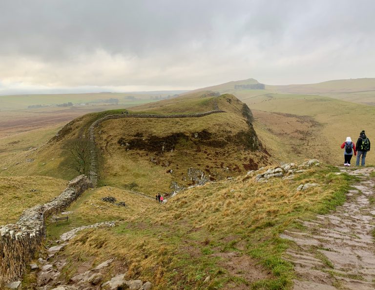
Some rather spectacular views along the route:


Approximately a third of the way along the route you will see the famous Robin Hood Tree.

“The Sycamore Gap Tree or Robin Hood Tree is a sycamore tree standing next to Hadrian’s Wall near Crag Lough in Northumberland, England. It is located in a dramatic dip in the landscape and is a popular photographic subject, described as one of the most photographed trees in the country. It derives its alternative name from featuring in a prominent scene in the 1991 film Robin Hood: Prince of Thieves. The tree won the 2016 England Tree of the Year award.”
https://en.wikipedia.org/wiki/Sycamore_Gap_Tree

Stopped in at The Sill National Landscape Discovery Centre at Once Brewed. Inside The Sill there is a gift shop, coffee and food area, multiple exhibitions. A well deserved coffee break here, the coffee was not too bad.


The route is not very flat – it is quite a hilly route so be prepared.
GENERAL EQUIPMENT
- Apple iPhone XS (for use of OS apps for lazy mapping and photos/videos)
- Gaia Maps app (free version – I use for tracking the walk and locating areas using way points with photos which is very handy)
- Comfy walking shoes (most important)
- Extra socks (keep the feet happy when needed)
- Waterproof Jacket (always a must, the weather changes alot in the hills/mountains)
- Long sleeve and/or short sleeve (for layering)
- Neck scarf (extra warmth and protection if needed)
- Woolly hat (keep your head and particularly my ears warm)
- Gloves (if scrambling is required)
- 2 litres of water
- Flask with Hot drink (a good cuppa is always welcome)
- ibuprofen (helping hand if you have any aches and pains)
- Food and snacks (fuel to keep you going)